Innovative technology reveals the mysteries of the Halifax harbour

Scientists are using autonomous underwater vehicles to capture more precise images of the ocean floor. The Weather Network's Nathan Coleman spoke to marine geoscientist Alex Normandeau to learn more about the importance of this new technology.
Natural Resources Canada experts have long dedicated their research to uncovering what unfolds beneath the Halifax harbour post-storm.
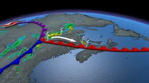
A recent unveiling of new maps showcases fascinating discoveries previously undiscovered amid the aftermath of hurricanes and post-tropical storms that hit the city.
Geological Survey of Canada researcher and marine geoscientist Alexandre Normandeau emphasizes the revolutionary impact of employing autonomous underwater vehicles (AUVs) in studying the effects of severe storms on the seafloor.
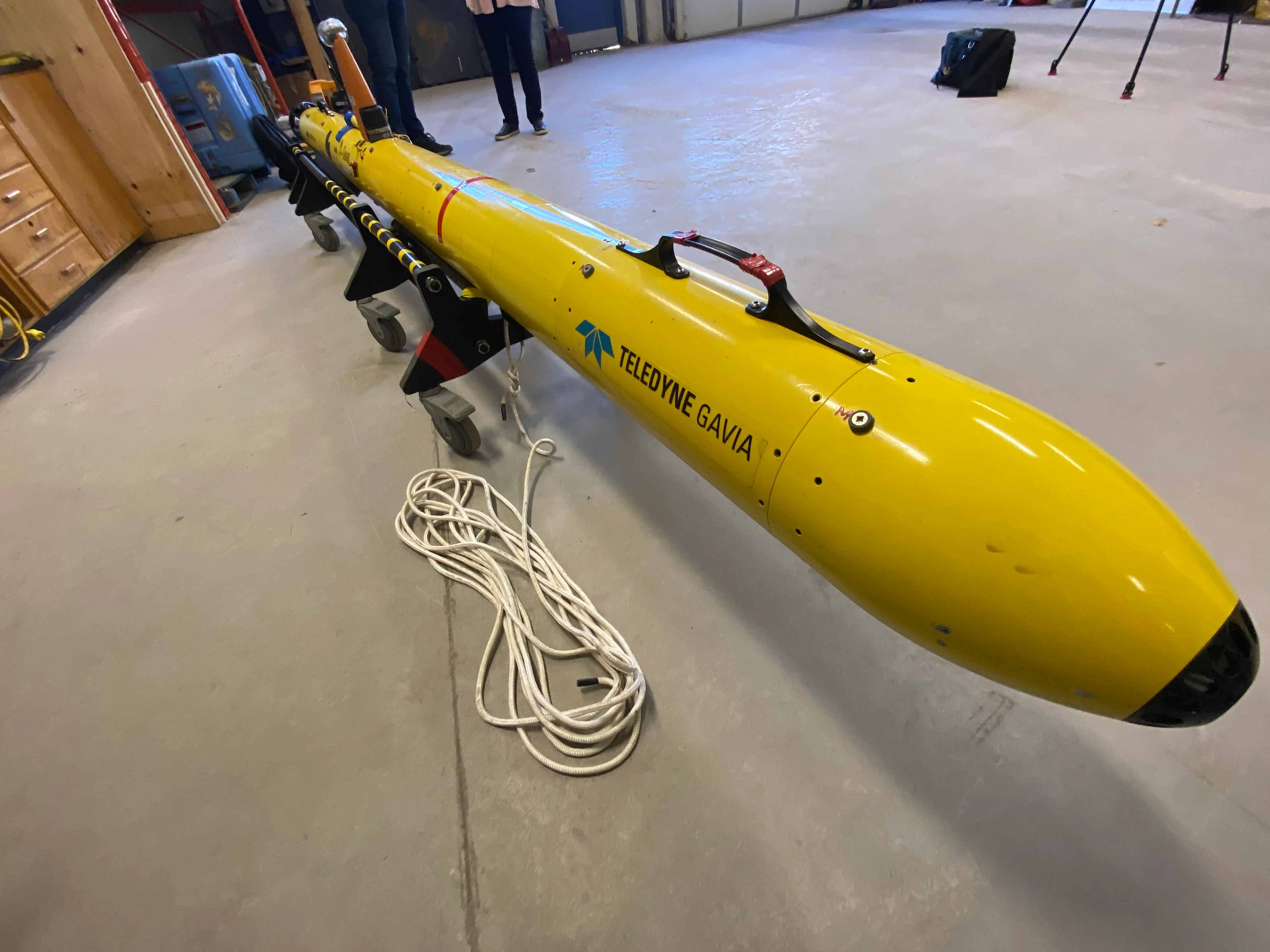
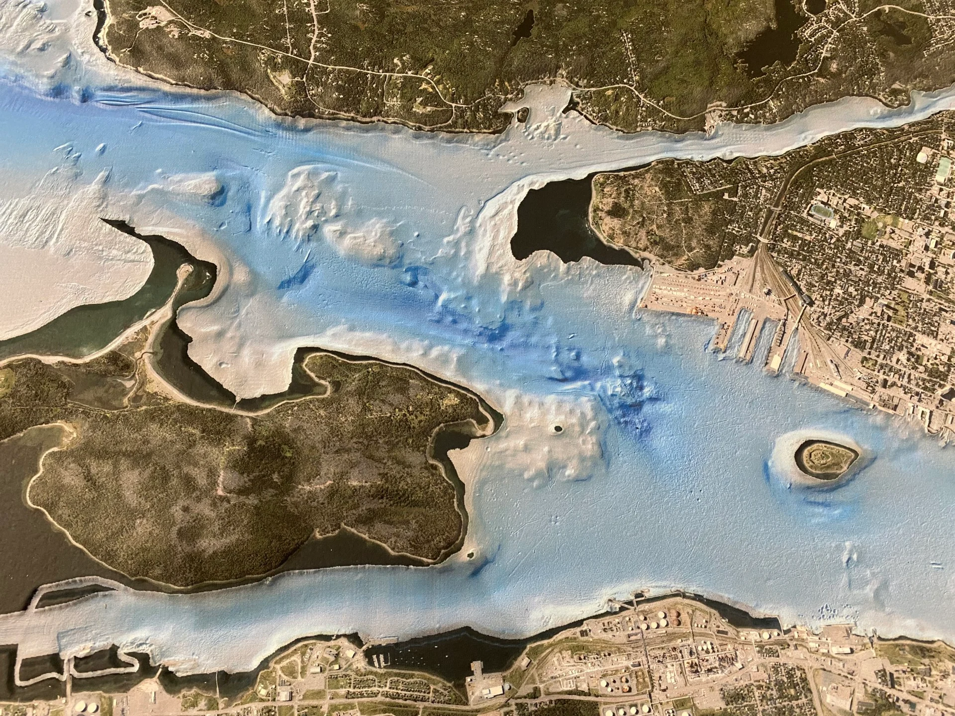
AUV at the Bedford Institute of Oceanography in Dartmouth, N.S. (Nathan Coleman/The Weather Network)
These vehicles are equipped with advanced sonar technology, enabling precise imaging of the ocean bed. Plunging to a depth of a mere 10 metres above the sea floor, the AUV gathers detailed data on the seabed.
“We can see anchor drags [and] shipwrecks at much higher resolution than we could before,” says Normandeau.
Normandeau points out that compared to traditional ship surveys, where visibility extended to only one to two metres, this cutting-edge device offers a much sharper view, revealing details at intervals as small as 30 centimetres.
To learn more about the importance of these high-res maps and how scientists are using them to monitor potential geohazards, watch the video that leads this article.